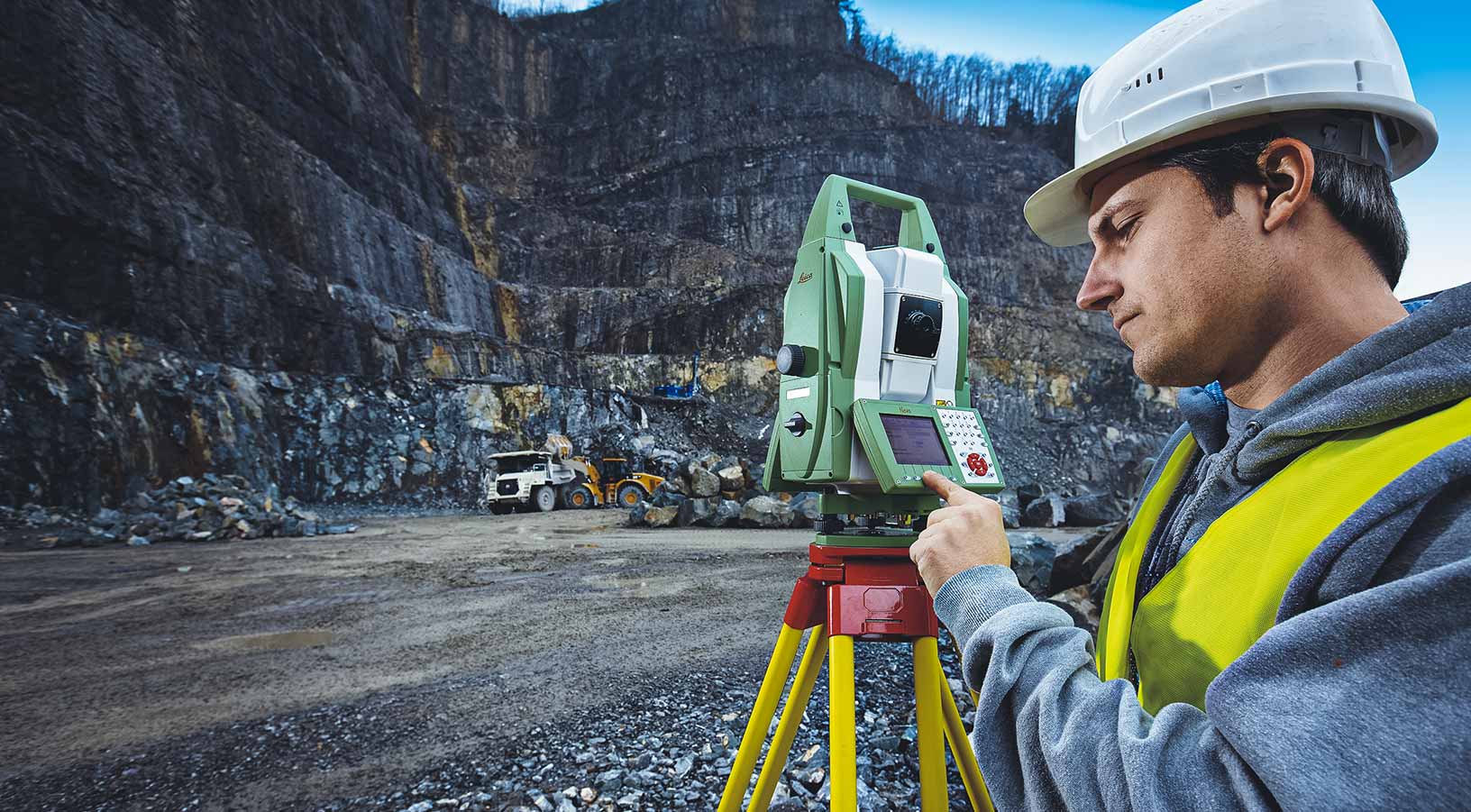
Mine Reality Capture
Reality capture solutions to help you improve and maintain efficient slope design.

Intelligent monitoring solutions prioritizing safety and productivity
Hexagon’s reality capture solutions visualize any environment, allowing you to model with accuracy and precision.
Hexagon’s reality capture solutions are integral to long-term background monitoring of slope deformations and slow movements. This is crucial for improving and maintaining efficient slope design, long-term planning and geotechnical characterization of the rock mass.
Overview
The long range (up to 5 km) coverage and state-of-the art slow movement processing algorithm of Hexagon’s radars empowers mining professionals looking to collect long data sets on large areas with reliable and clean results.
For decades, Hexagon’s Robotic Total Stations have set the industry standard for conventional strategic long-term monitoring. This expertise is complemented by the processing power of scalable monitoring software suite.
Through the analysis of satellite data, mine operators can complement ground-based deformation measurements to identify anomalous instability over large areas, to address and properly plan the best monitoring array.

Explore
$ProductName
$SustainabilityImpactLabel
$SustainabilityCTABandHeadingLabel
We’re climbing the automation curve
Our transition to Intelligent automation is accelerating. Ultimately, our innovations will give rise to new technologies and applications - many of which we’ve yet to imagine. Today, every Hexagon solution is mapped and tagged according to its level of automation, so customers can clearly track our progress towards the freedom of autonomy.
Land
Products that make an environmental impact in forest monitoring, material reusability, farming or water usage.
Air
Products that make an environmental impact in renewable energy, noise pollution elimination and e-mobility.
Water
Products that make an environmental impact in saving our oceans, reducing pollution and increasing access to clean water.


